Carine Regional Open Space has an easy 2.4 km loop around the wetlands, a playground, barbecues and a fenced dog park. Here's where to park and what to know.
Carine Regional Open Space is one of those big suburban parks that does a bit of everything. There’s a flat loop around the wetlands, a playground and barbecues, a skate park, sports ovals and a fenced dog park. It’s a good spot for a slow lap with a coffee, or a morning with the nieces and nephews.
Quick facts
- Where: corner of Beach Road and Okely Road, Carine
- Walk: 2.4 km loop, flat, Class 1
- Surface: concrete and compacted limestone, fine for prams and wheelchairs
- Facilities: toilets, barbecues, picnic shelter, playground and drink fountains
- Dogs: on a lead on the paths, plus a fenced dog park
- Parking: off Okely Road for the playground, or off Beach Road
- Cost: free
The wetland loop
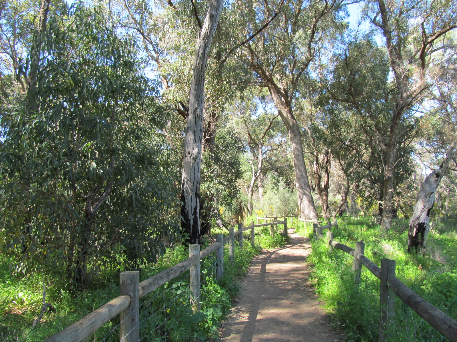
According to Trails WA, the main walk is a 2.4 km loop on concrete and consolidated limestone around the Carine wetland. It’s rated Class 1, which means flat and suitable for wheelchairs and prams. Out and About says the perimeter path is marked every 100 m, and with a few side loops you can stretch it out to around 4 km in about an hour.
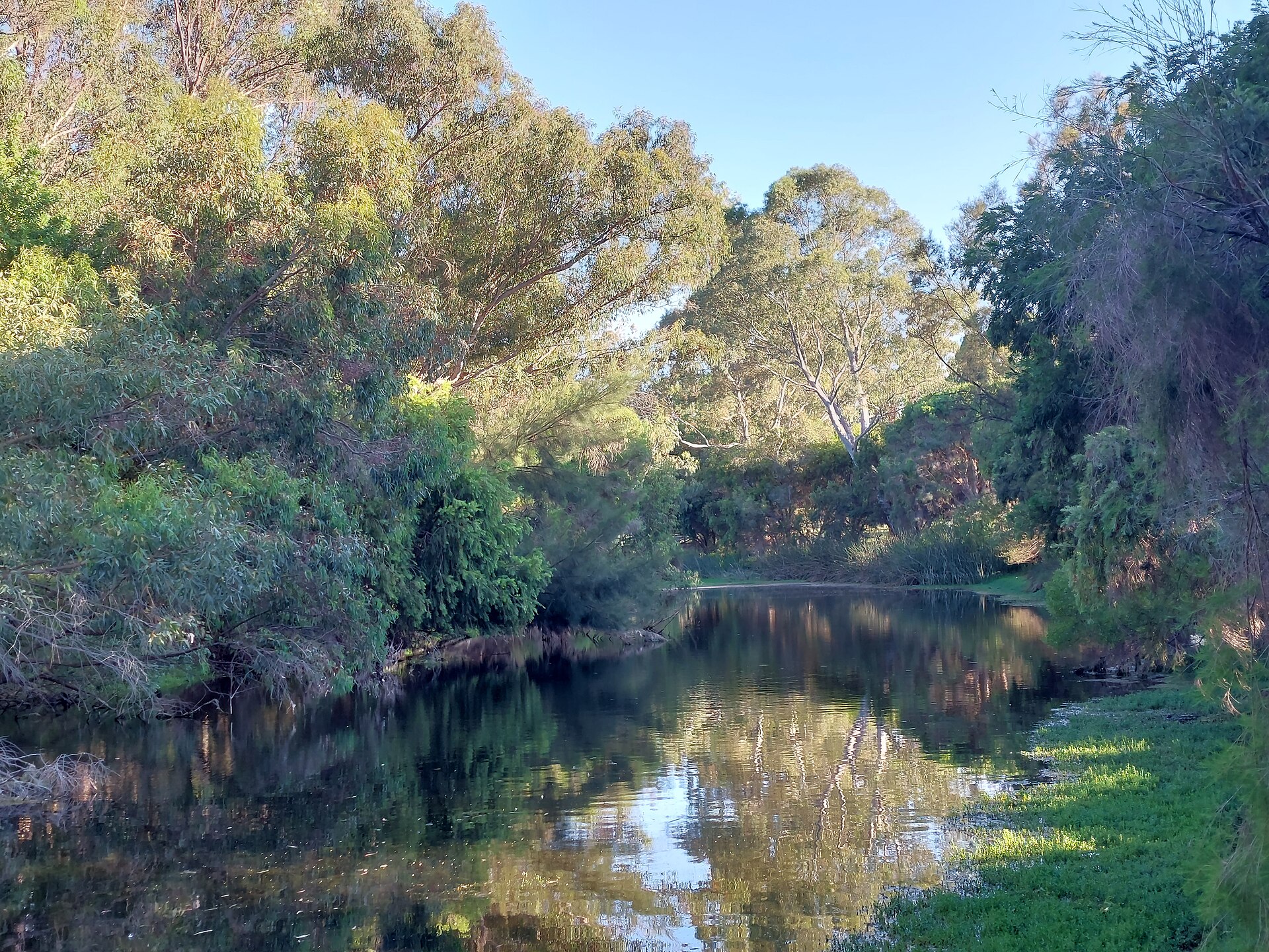
The path takes you past Big Carine Swamp and Little Carine Swamp, where you’ll usually see ducks and swans. There’s also a riding school for people with disabilities in the park, so you may pass horses along the way. On weekend mornings you’ll share the path with the Carine parkrun crowd.
I couldn’t find any public reviews of the loop that I could quote, so here’s my own take.
“It’s flat, it’s easy and there’s something for everyone, which makes it a solid choice for a family morning out.”
Alex Hamilton, Editor
The playground, barbecues and dog park
The City of Stirling lists public toilets, barbecues, a picnic shelter, a shaded playground, drink fountains, fitness equipment and a fenced dog area. The playground is next to Big Carine Swamp, and the easiest parking for it is off Okely Road. The City has been upgrading the parkland, and the playground was closed during the works, so check the City’s page before you go if the playground is the main reason for your visit.
If you bring the dog, keep it on a lead on the paths and out of the wetlands, or let it run in the fenced dog park.
More around the northern suburbs
The path crosses Reid Highway on an overpass to Gwelup, so you can keep walking to Lake Gwelup and its story trail. For lunch, try my list of the best restaurants in Karrinyup, or head to the coast at Scarborough Beach. For another easy lake walk, there’s Lake Goollelal in Kingsley or the Herdsman Lake loop.
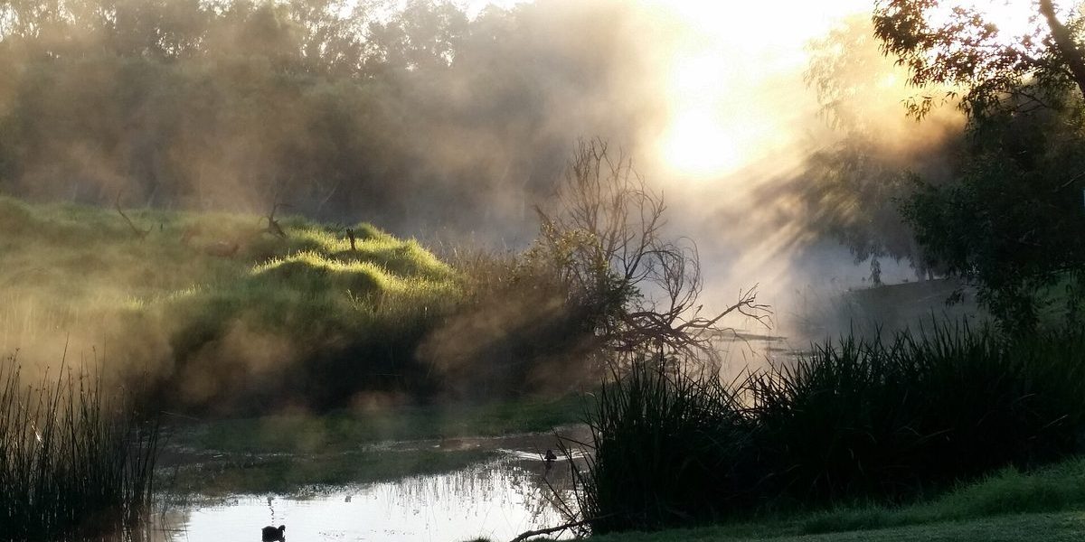
Featured image: the Carine wetlands by JNBob, CC BY-SA 4.0 via Wikimedia Commons, cropped.
Frequently Asked Questions
The main loop around the wetlands is 2.4 km. With side loops you can make it about 4 km.