Walk from Sandon Park along the Canning River to Salter Point Lagoon, with boardwalks, river views and waterbirds. Here's the route, distances and what to know.
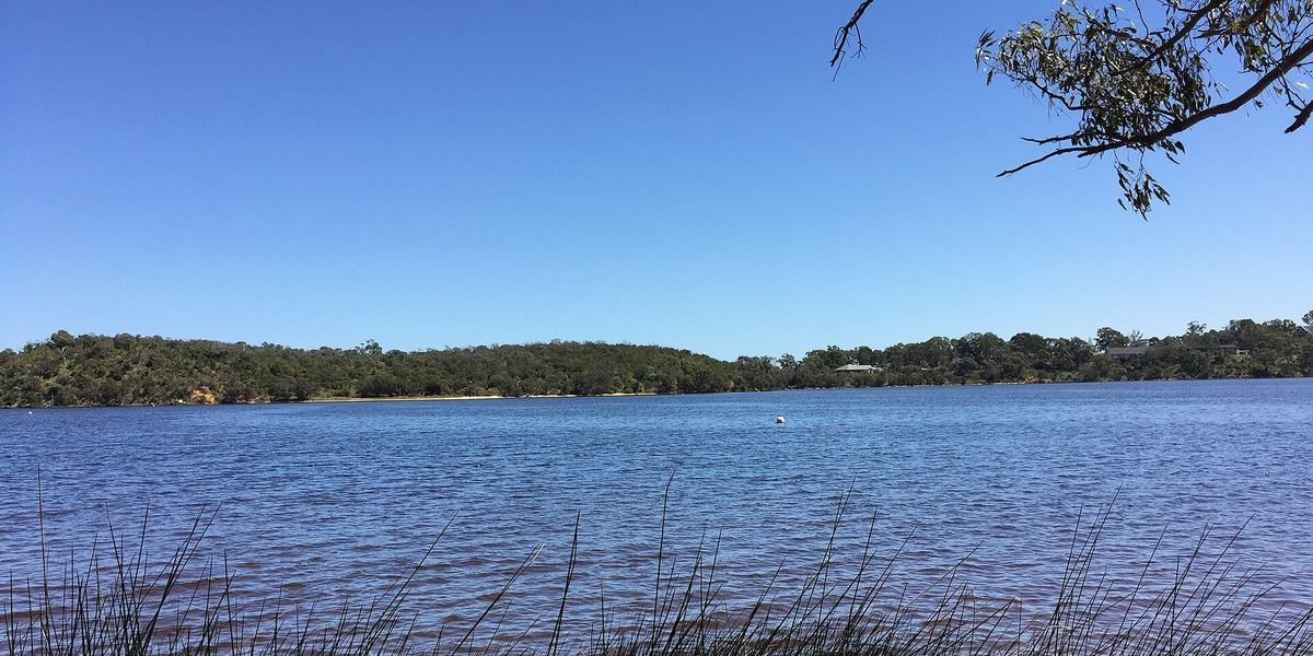
Salter Point is a quiet peninsula on the Canning River, and the walk along its foreshore is one of the nicer short river walks south of the city. You start at a park with a playground and barbecues, follow the river past reeds and paperbarks, and finish at a small lagoon full of waterbirds. It’s flat, it’s free, and it’s an easy one for a slow Sunday.
Quick facts
- Start: Sandon Park, Salter Point Parade, Salter Point
- Parking: on the eastern side of Sandon Park, off Elderfield Road
- To the lagoon: just over 1 km each way, about 15 minutes
- Facilities: playground, toilets, picnic areas and barbecues at Sandon Park
- Watch out for: tiger snakes in the wetlands
- Cost: free
The walk to the lagoon
According to Out and About, it’s just over 1 km from Sandon Park downriver to Salter Point Lagoon, which takes about 15 minutes each way. Along the way you cross a wooden bridge near the Scouts building and pass the Melaleuca Grove Loop boardwalk. If you add the Lagoon Loop and the short River Walk, the whole thing takes about an hour.
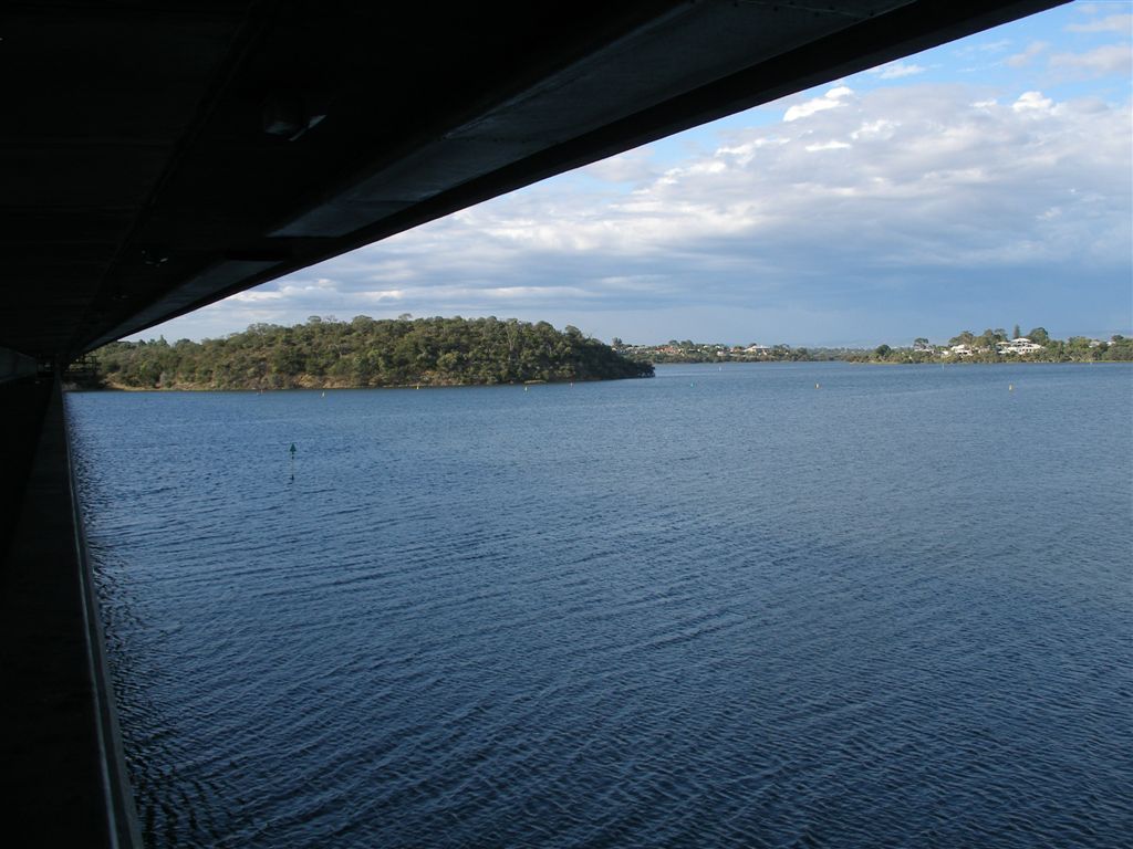
The lagoon itself is small and ringed with reeds, sheoaks and paperbarks. The Lagoon Loop is up to 500 m, but the sandy eastern side can flood when the river is high, so you may need to stick to the paved western path. That side has a lookout and a boardwalk, with views across the lagoon and down the river to the Mount Henry Bridge.

The River Walk and the point
From Salter Point Road, the River Walk is just over 1 km return. It runs past little river beaches, then climbs a steep staircase to a pocket park at River Road. The steps are narrow and can be slippery when wet, so take care. Out at the tip of Salter Point you get views right up and down the river, across to Shelley and Rossmoyne.
I couldn’t find any public reviews that I could quote, so here’s my own take.
“It’s a short walk, but you get the river, a boardwalk and a lagoon full of birds, and it never feels busy.”
Alex Hamilton, Editor
Birds, and a longer option
The City of South Perth says 42 species of native birds use this stretch of foreshore, including protected species like the common sandpiper, common greenshank and Caspian tern. Out and About spotted several white egrets at the lagoon. These are wetlands, so tiger snakes live here too. Keep dogs on a lead and keep little ones close.
If you want a longer walk, the paved foreshore path runs east from Sandon Park all the way to Clontarf. It’s just over 4 km and about an hour each way, flat and fine for prams and bikes.
How Salter Point got its name
Around 1880, a sawyer named Samuel August Salter set up a landing stage here, known as Salter’s Landing, where logs from Kelmscott and Jarrahdale were floated in and sent by barge to a mill. The area was named after him, and there’s a plaque on the Salter Point Road loop that remembers his timber business.
More river walks
Just across the water, the Shelley foreshore walk has a playground and a cafe at the end. For more birds, try Alfred Cove in Attadale. And if you’re nearby on a weekend, the Aviation Heritage Museum in Bull Creek or brunch in Applecross make a good add-on.
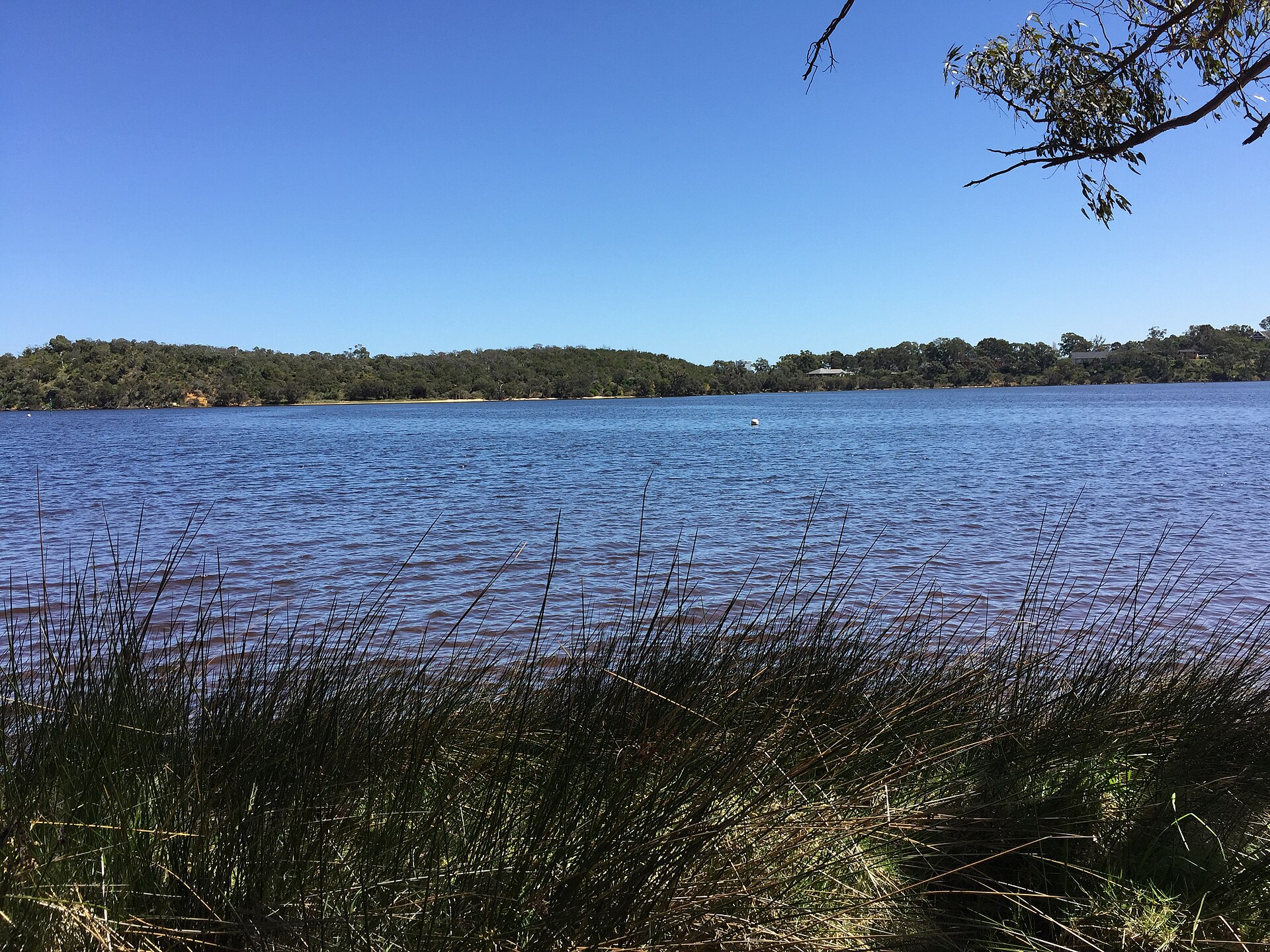
Featured image: the Canning River near Mount Henry by Betterkeks, CC BY-SA 4.0 via Wikimedia Commons, cropped.
Frequently Asked Questions
Start at Sandon Park on Salter Point Parade. There’s parking on the eastern side of the park, off Elderfield Road.