A 5.2 km bush walk along the Helena River to a small, very blue pipehead dam, starting where Helena Valley Road runs out. No facilities, so come prepared.
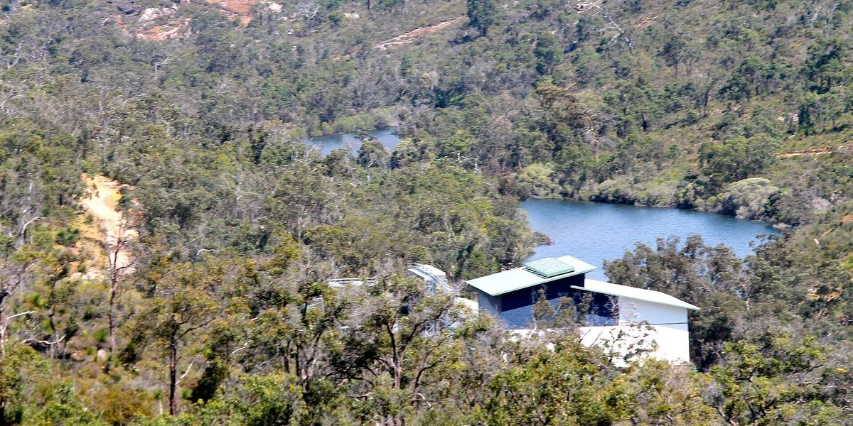
Helena Valley is one of those spots in the hills you drive past on the way somewhere else. Keep going to the very end of Helena Valley Road, though, and there’s a proper bush walk waiting. The Helena Pipehead Trail follows the Helena River upstream to the Lower Helena Pipehead Dam, a small dam in a surprisingly deep shade of blue. It’s about 5.2 km, there’s nothing in the way of facilities, and that’s part of the appeal.
Quick facts
- Start: The end of Helena Valley Road, Helena Valley
- Distance: About 5.2 km, roughly 2 hours
- Short option: About 1.5 km one way to the first dam views
- Surface: Dirt fire trail and bush track, slippery when wet
- Facilities: None on the trail. No toilets or picnic areas
- Cost: Free
Where it starts
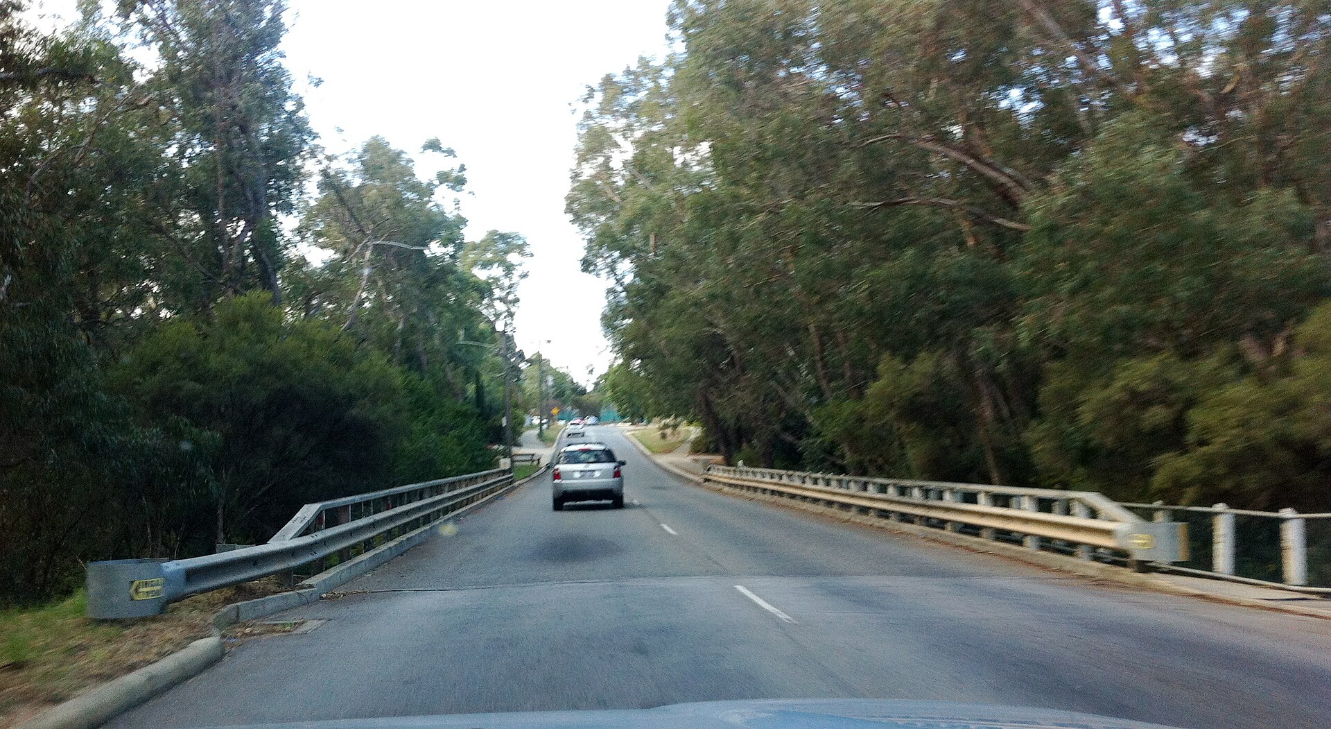
Helena Valley Road literally runs out opposite a private home, and there’s room for about eight cars there, with a bay a little further along for a few more. There’s a gate across the fire trail, so park so that it stays clear. Be a good neighbour to the people who live at the end of the road, too.
If you’re coming on the bike like me, remember the road is a dead end, so you’re heading back out the same way.
The walk
The Out and About write-up of this walk goes clockwise, heading upstream along the river past a small metal bridge and a gauging station before the dam comes into view, with its old pumphouse in the foreground. There’s also a turn-off to Rocky Pool, which adds roughly 600 m each way down a steep, rocky hill. Worth it if your knees are in good shape.
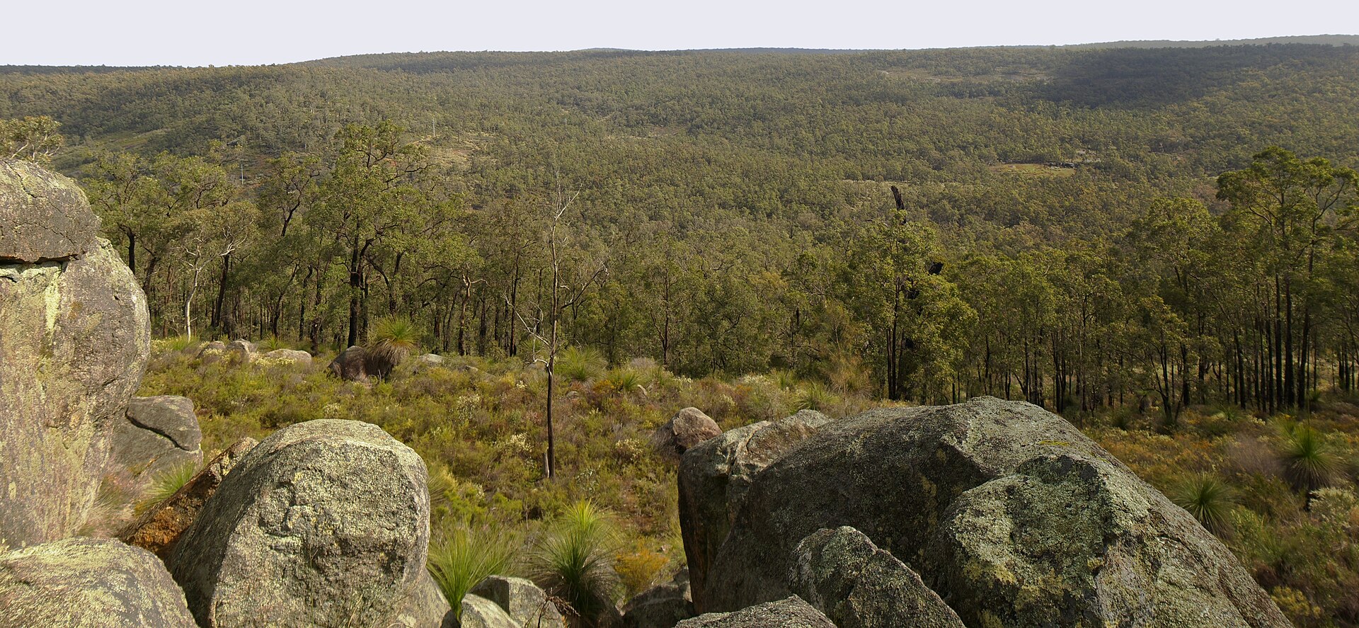
The trail sits where the Kalamunda and Beelu national parks meet, so it feels a lot further from the suburbs than it is. Look across the valley and you’re facing Nyaania Conservation Park on the Darlington side.
“This is the kind of walk I like: a dead-end road, a river and a dam you don’t expect. Just pack water, because there’s nowhere to fill up.”
Alex Hamilton, Editor
I couldn’t find any recent public reviews of this trail to quote, so that one’s from me.
When to go
Late winter and spring are the obvious picks, when the wildflowers start showing up. The track can get quite slippery when it’s wet, so wear shoes with some grip. In summer, go early and carry more water than you think you need.
Tips before you go
- There are no toilets on the trail. The Boya Community Centre has toilets, but check its opening hours first.
- The trail runs into national park, and dogs generally aren’t allowed in WA national parks, so leave the dog at home.
- The trail notes I could find date from 2021, so check current conditions with the City of Kalamunda before you set off.
- Tell someone where you’re going, as you’ll be out in the bush with no facilities.
Make a day of it
The Railway Reserves Heritage Trail from Bellevue is just down the hill, and a Sunday drive up to Mundaring Weir takes you to the big dam further up the same river. If you’d rather a beer than another walk, the Parkerville Tavern is my pick in the hills. Heading back towards town, Midland and Guildford are both worth a stop.
Featured image: Lower Helena pipehead dam from north west by JarrahTree, CC BY 2.5 AU via Wikimedia Commons, cropped.
Frequently Asked Questions
It’s about 5.2 km and takes around 2 hours. A shorter option is about 1.5 km one way to the first dam views.